Our Earth

Our Familiar Home
Our home world is warm, wet, and teeming with life. It is the place we understand best. We use what we know to explore other planets and learn about the solar system.
| Distance From Sun | 93 million miles |
| Structure | iron core, mantle rock, crust rock |
| Temperature (Planetary Extremes) | Day 136°F (58°C); Night -126°F (-88°C) |
| Mass | 6 x 10¹⁹ tons |
| Volume | 39 x 1021 cubic feet |
| Day | 24 hours |
| Year | 365.24 days |
| Axial Tilt | 23.5° |
Earth is a dynamic and constantly changing planet. It is the first place in the solar system we explored both on the surface and from space.
Forces slowly and continuously reshape Earth’s surface. Earthquakes shake the ground. Tectonic shifts deep inside our planet move continents and build mountains. Volcanoes spew lava that forms islands and resurfaces the land and ocean floors. Rain, snow, and wind erode the landscape. Occasional impacts of large objects dig out craters. These processes can shape other worlds, giving them their own unique histories.

The High Definition Earth Viewing (HDEV) experiment aboard the ISS streams real-time images of Earth as seen from low Earth orbit.
Earth’s Changing Surface

The surface of our planet changes all the time. Movements of rock deep inside Earth raise mountains in some places, while the process of erosion carves rivers and plains in others. Impact craters gouge out scars, and volcanic eruptions reshape the landscape. Some of these processes are gradual and take millions of years. Others happen very quickly.
A Surface in Motion
 Earth’s crust is divided into at least 14 rocky plates that carry the continents, mountains, plains, lakes, rivers, polar ice caps, and oceans. Each year, they drift a few inches, moving at about the same rate that your fingernails grow. Their motion constantly alters the global map. The continents of 65 million years ago looked very different. In 50 million years, their arrangement will have changed even more.
When plates collide, several things can happen. One plate dives under another, and mountains are built. Plates can also grind against one another (as they do at the San Andreas Fault), triggering earthquakes. When plates move apart, molten material from below rises up and fills in the gap. This is currently happening underneath the Atlantic Ocean.
The Ring of Fire

The Ring of Fire encircles the Pacific Ocean basin from New Zealand, up through Japan, around to North America, and down to nearly the tip of Chile. It is a tectonic battle zone, with several plates moving against one another. Mountain ranges, deep ocean trenches, island chains, and many volcanoes form along the plate boundaries. Strong earthquakes and violent eruptions often rock the countries that lie in this zone.
Earthquakes
The plates that make up Earth’s crust move slowly over time. Most earthquakes occur along the boundaries between these plates. The San Andreas Fault, for example, is the boundary between two plates sliding slowly past each other. Dozens of smaller faults branch out from the San Andreas. Their movements produce earthquakes that shake Californians every day.
Anatomy of an Earthquake
 The motions of Earth’s crust are influenced by forces from deep within our planet. Earth is heated inside by a fiery core, and the heat is conveyed out through the mantles to the crust. The rocky plates float on the upper mantle, and heat transfer drives their motions. When two plates grind against each other, tension builds. Eventually, something has to give. When plate rocks snap, it causes an earthquake.
Vibrations Reveal Earth’s Structure
 Almost everything we know about Earth’s interior comes from studying the vibrations that occur during earthquakes. These seismic waves radiate out from the epicenter of the quake. The way they move through each layer gives clues about the interior structure of our planet.
In an earthquake, Primary waves move fastest and compress the ground. Secondary waves move more slowly through solid rock and shake the ground back and forth.
When the Ground Moves
Our planet constantly experiences earthquakes. We don’t feel most of them, but the stronger ones cause noticeable shaking. A severe earthquake releases more energy than 10,000 nuclear bombs and can trigger landslides and tidal waves. The shifting ground levels buildings, breaks gas and water pipes, cracks roadways, and collapses highway bridges. As the rocks resettle underground, aftershocks continue to shake the surface.
Measuring Ground Movement
Earthquakes are a fact of life along California’s fault zones. The state’s best-known fault is the San Andreas, but many others cause the ground to shake as well.
A network of sensors tracks the constant movement of the ground in the Los Angeles basin. One is located at Griffith Observatory. Global Positioning Satellite receivers precisely record the resulting surface changes. Their data help determine which faults might experience earthquakes in the future.
Make Your Own Earthquake
These instruments measure and record earthquake vibrations. The center and right drums in the seismograph case connect to a seismometer in the bedrock beneath the building. It detects regional and global earthquakes.

You can make your own earthquake now by jumping up and down. The seismometer detects the floor vibrations and sends signals to the left drum in the case. The squiggles on the paper record the vibrations from your personal earthquake.
Notable Earthquakes

San Francisco
1906
At 5:12 a.m. on April 18, 1906, the city of San Francisco shook for just over a minute as the San Andreas Fault ruptured. The magnitude 7.8 earthquake leveled buildings throughout the devastated city. Rubble burned in a firestorm that lasted three days, and at least 3,000 people died in the catastrophe.

Northridge
1994
The January 17, 1994, Northridge earthquake was the strongest to hit Los Angeles in more than 20 years. It caused billions of dollars in damage to buildings, parking garages, and highway overpasses. The magnitude 6.7 earthquake hit early in the morning (like its 1906 counterpart), but only 57 people died. Strong building codes saved many structures from severe damage.
Zeiss Mark IV Planetarium Projector
1964–2002
This one-ton opto-mechanical projector was the heart of the Griffith Observatory planetarium theater from 1964 (when it replaced the original Zeiss Mark II instrument) until 2002. It projected a realistic sky complete with 8,900 stars, as well as the planets, Sun, and Moon. It could also show the stars thousands of years in the past or future.


Projecting the Stars
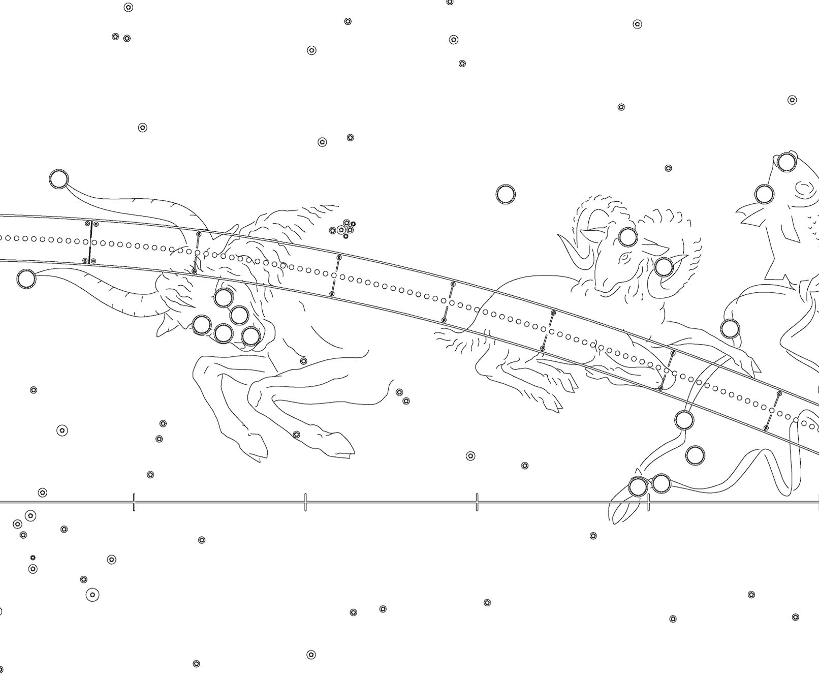
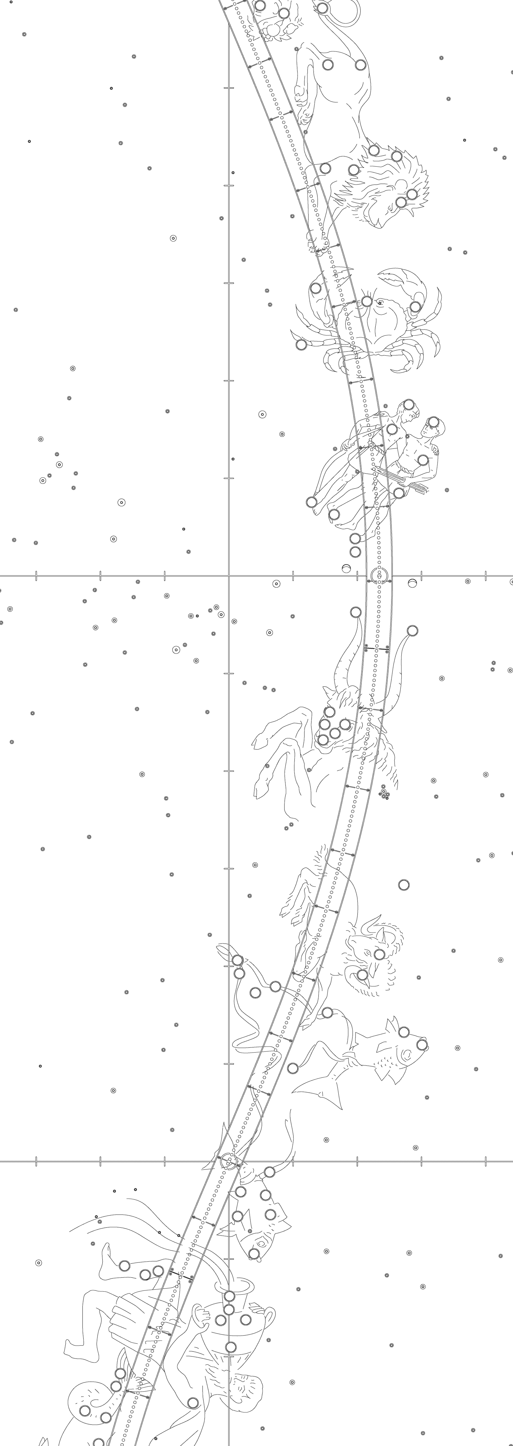
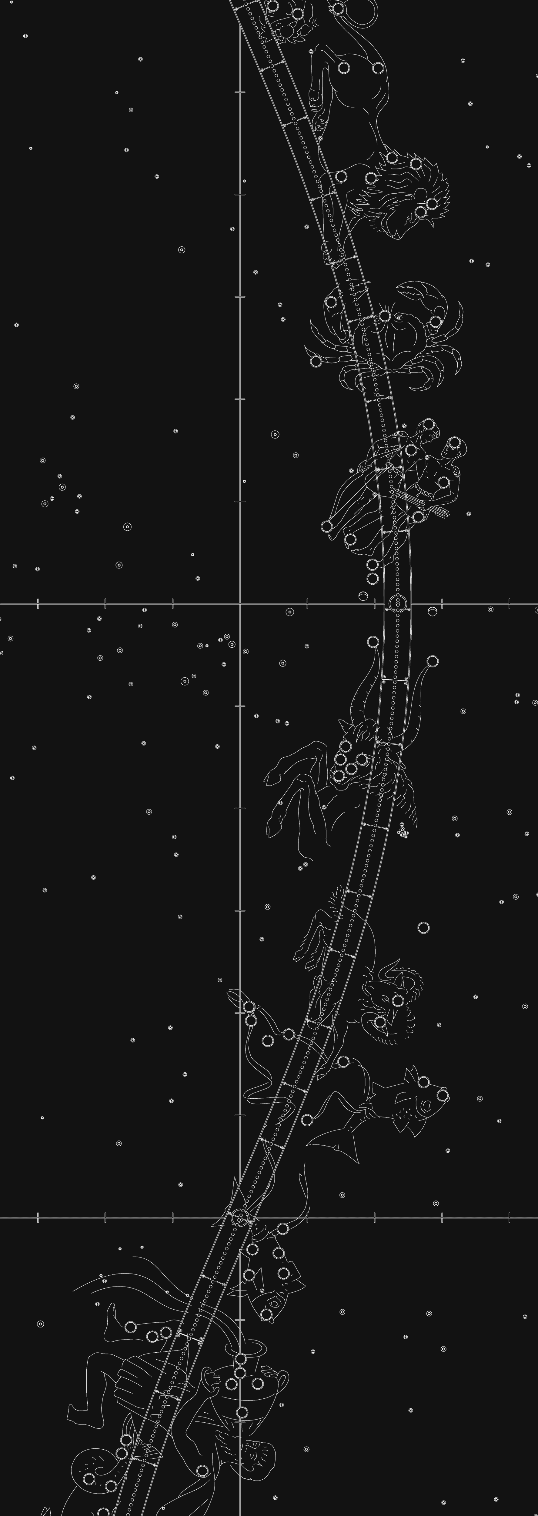
A pair of thousand-watt lamps in the star balls of this Zeiss planetarium instrument projected light onto 32 plates. Each was perforated with one hole for every star’s position, plotted from a precise celestial map like the one here and on the wall in front of you. Stars were then projected onto the dome by lenses. Instruments inside the central cage produced the Sun, Moon, and five of the planets.

Modeling the Sky
Throughout history, people devised machines to explain sky motions. The orrery mimicked the planets’ motions as seen from “outside” the solar system. The planetarium projector puts observers “inside” the sky and shows the stars as seen from Earth. Digital systems use video to let viewers explore the cosmos through animations. The Samuel Oschin Planetarium theater has a star projector and a video system to simulate the universe.