Using the Sky

We have always been skywatchers. In early times, we connected the movements of the Sun, Moon, and stars to the passage of time and the change of seasons. Then we learned to predict and chart celestial motions, and used that information to create timekeeping devices and calendars. Farmers and sailors came to depend on accurate knowledge of the sky, wisdom that gave others political and religious power.
The science of astronomy began with those early naked-eye observations and the questions they raised about what we saw in the sky overhead.
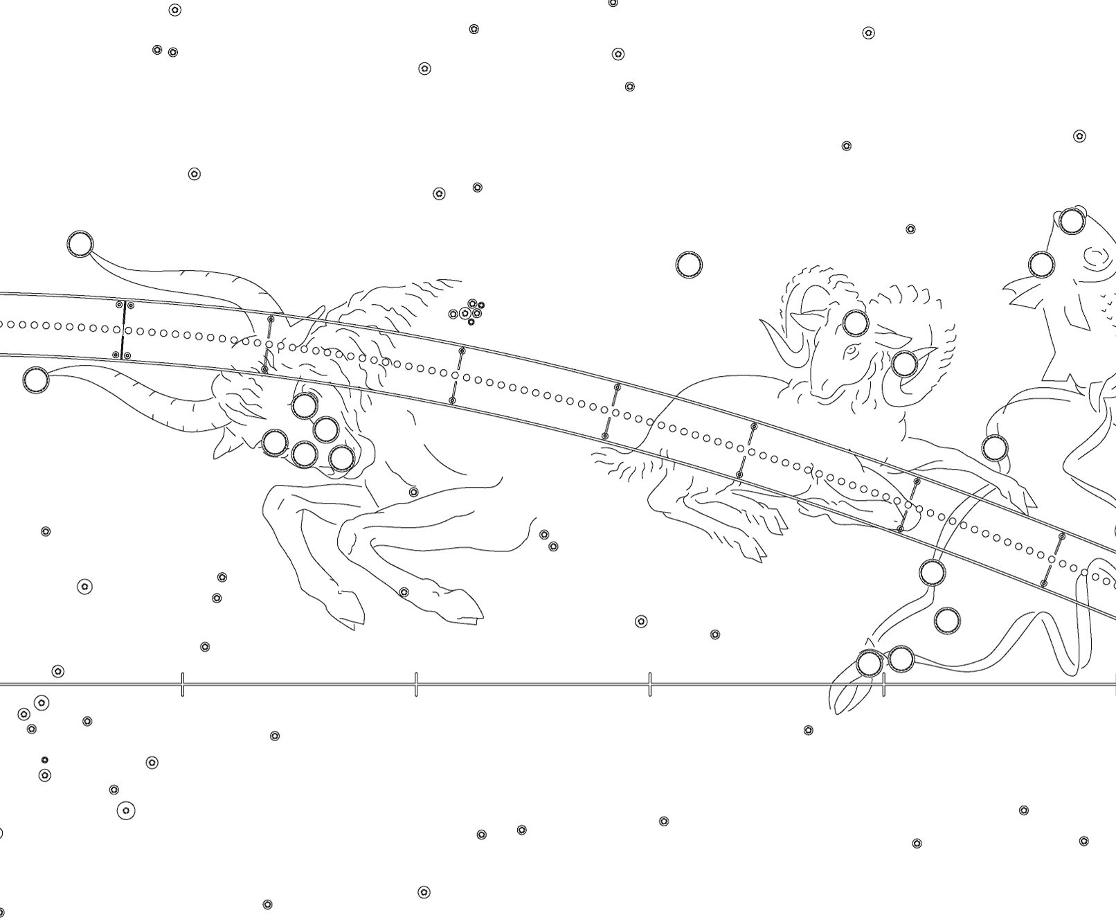

California Indian Horizon Calendar
The horizon is our most basic astronomical instrument. Sunrise and sunset points migrate north and south along the horizon. The Sun reaches its northern limit on summer solstice (in June) and the southernmost point at winter solstice (in December). California Indians monitored the seasons by observing sunrise positions. Their solstice ceremonies recognized the Sun’s power over the seasons.

Using the Horizon
People have always used the horizon as a calendar of seasonal change. Knowing when this change would occur was essential to survival. California Indians observed the daily shifting of sunrise and sunset points as the Sun moved between its northern and southern horizon limits. We can use the radial lines embedded in the West Terrace at Griffith Observatory to mark key setting points of the Sun and Moon along the western horizon.

Roman Citizen Timekeeping Sundial
Timekeeping is an essential part of life. It regulates everything from commerce and government to our personal lives. The sundial was an early instrument used to measure time. As the Sun’s position changes during the day, the shadows it casts shift. A sundial shows those changes. Citizens of ancient Pompeii relied on the public sundial at the Temple of Apollo to tell time.

Using a Sundial
Griffith Observatory’s sundial works as the ancient instruments did. In the morning, when the Sun is in the east, you can see the rod’s shadow on the dial’s west side, which is marked with hour lines. At noon, when the Sun is due south, the shadow is aligned north-south. When the Sun is in the west, the shadow strikes the hour lines on the sundial’s east side. By looking at where the shadow falls on the lines, you can tell what time it is.

Andean Quechua Pleiades Weather Signal
The Pleiades is a distinctive cluster of stars many people have observed as a signal of seasonal change. The Quechua Indians, in the Andes mountains of Peru, observe the Pleiades just after the June solstice. They call the Pleiades collca, which means “storehouse.” This Quechua term links their observations of the sky with the hope for good weather, successful farming, and a plentiful food supply.

Using the Pleiades to Forecast Rain
We usually see six Pleiades stars, as shown in the Ballin ceiling mural in Griffith Observatory’s main rotunda. The cluster has more stars, but our atmosphere affects its appearance. At high elevations with clear air and dark skies, the Quechua can see ten or more. When El Niño brings clouds and wet, turbulent air, the Pleiades looks dimmer with fewer stars. This means rains will be late, and the Quechua delay planting to ensure a successful harvest.
European Navigators Latitude Determination
On the ocean there are no landmarks to indicate your location or sailing direction. European navigators on sixteenth-century ships needed to know how far north or south of Earth’s equator they were. They used Polaris, the North Star, to learn their latitude and measured its angular elevation with a cross-staff. The changing height of Polaris signaled their progress north or south.
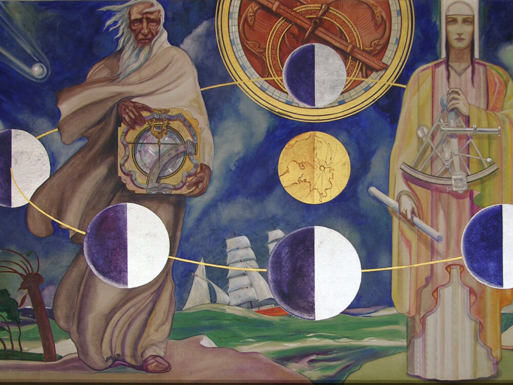
Navigating With the North Star
Griffith Observatory’s Ballin Navigation mural depicts mariners and the instruments they used to navigate by the sky. You can do this by looking up and finding Polaris, the North Star. When you do, you are looking north. It appears higher above the horizon as you travel north. Its elevation angle equals your latitude. From Griffith Observatory, at latitude 34 degrees north, the North Star is 34 degrees above the northern horizon.

Tycho Brahe's Engraved Metal Instruments
For centuries, astronomers measured only the brightness and position of celestial objects. They used this information to predict the motions of the Sun, Moon, and planets. The quest for accurate data led sixteenth-century Danish astronomer Tycho Brahe to build a large engraved metal quadrant. This instrument let him determine very precise astronomical positions. His work set new standards for future astronomers.

Measuring the Sky
Tycho Brahe’s quadrant let him record where and when a celestial object crossed the north-south meridian. Tracking the sky through a wall slit, an observer would spot the object, measure its angle from the engraved arc, and announce the measurement. His colleague would announce the time, and the recorder would write down both measurements. Griffith Observatory’s Gottlieb Transit Corridor is a modern cousin of Brahe’s instrument.